Deep Creek & the Three Waterfalls
Choose the route by effort, not by the number of waterfalls.
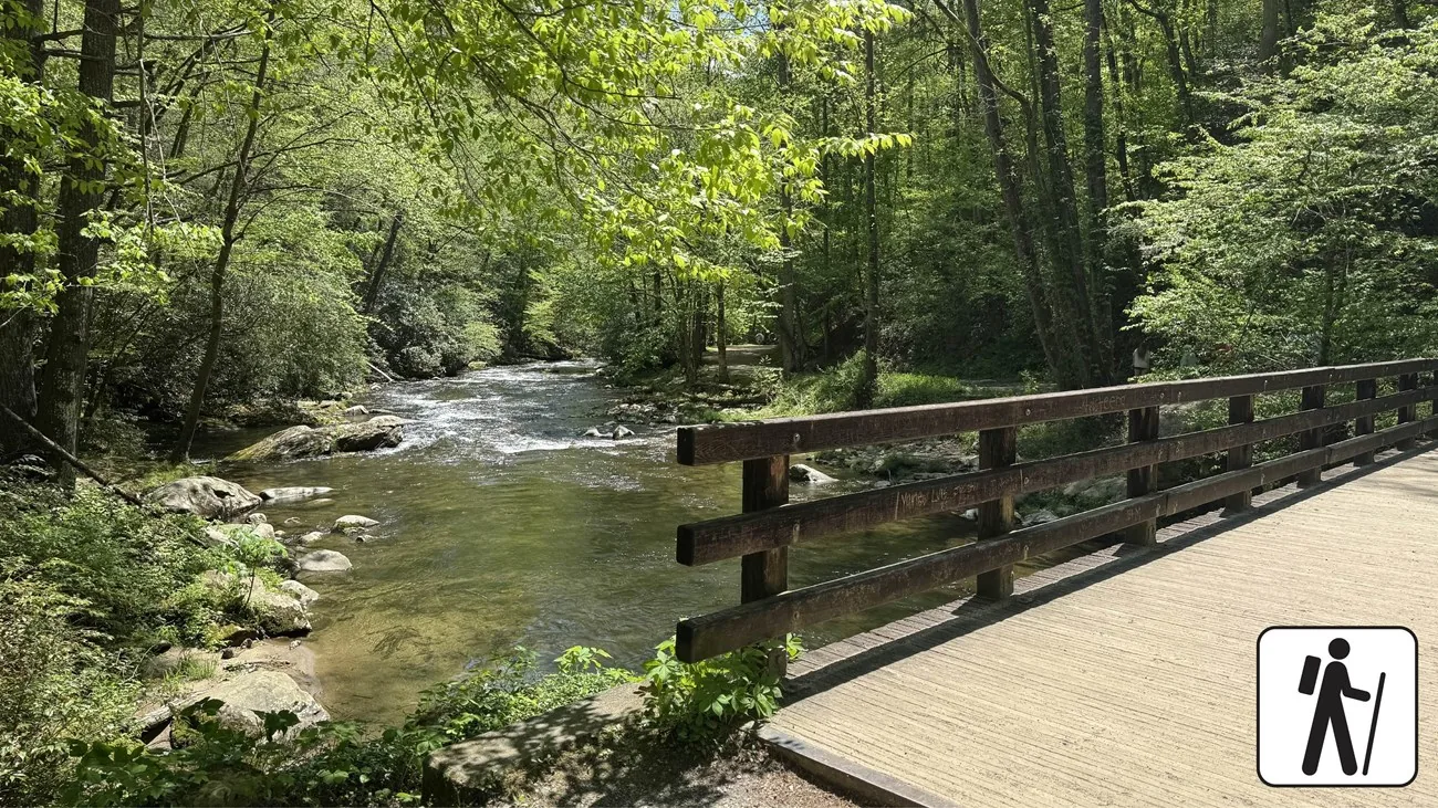
Three falls, two different decisions
Tom Branch and Indian Creek lie on the NPS creek-side outing, 1.6 miles round trip with about 160 feet of elevation gain. The separate 2.4-mile loop adds Juney Whank through connecting trails. These distances describe complete NPS routes; do not add numbers from unrelated waterfall listings and invent a third circuit. Read the official map at the trailhead and agree which version everyone is prepared to do.
The shorter creek outing
Follow Deep Creek Trail toward Tom Branch, the first waterfall stop. NPS describes the approach to Tom Branch at roughly 0.3 mile from the trailhead, then continuing toward the Indian Creek junction. The turn toward Indian Creek adds an uphill side path. Tom Branch is a useful decision point: pause, assess footing and stamina, and continue only if the return still feels comfortable. It is a real outing even if you decide that the first falls is enough.
What the full loop changes
The three-waterfall loop includes Juney Whank, with a steeper approach and steps, rather than simply extending the same creek-side grade. Follow the published NPS sequence and map so the group understands the climbs and junctions. If fatigue, damp surfaces or a reluctant child appear before committing to the loop, choose the shorter return. A longer route is worthwhile for people who enjoy the trail itself; an extra waterfall does not justify a poor fit.
Choose by surface, not a difficulty label
NPS describes gravel, roots and rock on the two-waterfall route. “Short” is a distance description and “easy” does not establish wheelchair or stroller access. Discuss the actual trail profile with park staff if mobility matters. The park describes adaptive mobility-device options through its visitor centers, with availability and seasonal reservation arrangements; that is not a guarantee that equipment will be waiting at Deep Creek or that a chosen route suits every traveler.
Keep water a viewing experience
Stay on the designated route, keep children close and avoid wet rock at the falls. The park advises against swimming and tubing in its waters; tubing promoted by nearby businesses does not override park guidance. High water can change the risk even when the car park looks ordinary. A photograph from a conservative position is a better memory than an improvised approach to the plunge pool or a scramble beside swift water.
Parking, picnic and practical comfort
Arrange the applicable physical parking tag before a stop over 15 minutes and use designated spaces. A tag is permission to park where allowed, not a reservation. Bring drinking water and traction footwear. Confirm seasonal restroom and picnic-facility availability instead of depending on the campground being open. A snack or packed lunch lets you wait out fatigue without forcing the pace to make a restaurant booking.
A complete day without a second hike
Return to Bryson for lunch and downtime. If the group still wants an afternoon outing, Lakeview Drive adds a different story and can be enjoyed without entering the tunnel. Keep that extension optional and in daylight. Pairing the falls with a deliberate town meal leaves more room for conversations, photographs and the unexpected than adding another remote waterfall after the walking group has already spent its energy.
Choose the version that fits
| Choice | What to plan around | Key check |
|---|---|---|
| Tom Branch turnaround | Shortest creek-side choice | Inspect footing; no universal access claim |
| Tom Branch + Indian Creek | 1.6-mile NPS round trip | Gravel, roots, rock and side-path climb |
| All three waterfall loop | 2.4-mile NPS loop | Juney Whank adds steeper ground and steps |
A sequence worth trying
- Before walking
Tag, current cautions, official trail map and a shared route decision.
- At Tom Branch
Rest and decide whether Indian Creek still fits the return budget.
- Afterward
Picnic or Bryson lunch; optional Lakeview Drive only if daylight and energy remain.
Suggested sequence; check the actual departure, opening and daylight. Road delays are not calculated.
Questions that change the decision
Is this a wheelchair-accessible waterfall route?
No blanket assurance is warranted. NPS lists uneven surfaces and its only ADA-accessible park trail is elsewhere. Ask staff about the specific profile and any adaptive equipment arrangement.
Can my dog join the waterfall walk?
Pet dogs are not allowed on these park waterfall trails. Service-animal rules differ; check the official park policy before arriving.
Is one waterfall enough?
Yes. Tom Branch is a deliberate shorter option when the full creek outing does not fit stamina, time or footing.
A sensible next stop
Best Waterfalls Near Bryson City
Start close. Add distance only when the waterfall justifies it.
Bryson City With Kids
Build days children can finish with energy left for dinner.
Easy Outdoor Experiences
Scenery without making every outing an expedition.
Build this into a trip · Find the nearby stops · Match your dates
Official sources establish the listed route, facility or operator facts. Suggested sequences, time allowances and tradeoffs are editorial planning advice. Availability, individual access and checkout prices require confirmation for your travel date.