Best Waterfalls Near Bryson City
Start close. Add distance only when the waterfall justifies it.
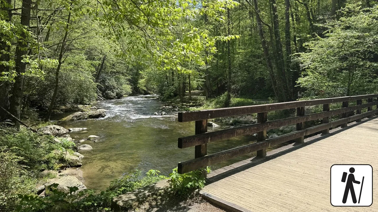
Choose a waterfall area rather than a score
The most useful first choice is geographic. Deep Creek is the Bryson-based option, with multiple falls reached on clearly described NPS routes. Mingo belongs to a Cherokee day for people comfortable with a staircase. Soco lies farther east on US-19 toward Maggie Valley. Choose the area that fits the day’s other purpose. Driving between all three is not evidence of a better waterfall experience.
Tom Branch: a deliberate shorter choice
Tom Branch is the first creek-side fall on the Deep Creek outing. Use it as a turnaround when time, footing or endurance argues against continuing. There is no requirement to earn lunch by reaching another fall. The path is not uniformly smooth or level; inspect the conditions and talk to park staff when a stroller, cane or mobility device changes the decision. The shorter distance reduces commitment, not every possible barrier.
Indian Creek: extend the same creek outing
NPS’s complete two-waterfall route is 1.6 miles round trip. Indian Creek is reached by a side path from Deep Creek Trail, adding an uphill approach rather than a wholly separate driving destination. Agree at Tom Branch whether continuing leaves enough comfort for the return. A rest is a planning tool, not proof that the group should press on. Use the official route map rather than a collection of isolated waterfall distances.
Juney Whank: choose the climb knowingly
The NPS 2.4-mile loop combines all three Deep Creek waterfalls and adds the steeper Juney Whank segment and steps. It fits a group that wants the trail as well as the views. Do not describe it as the same short creek stroll with an extra attraction. With uneven stamina, keep everyone’s turnaround options clear before choosing the loop. Rain can make a modest-looking climb much less appealing.
Mingo: short does not mean easy
EBCI tourism describes a short, steep approach to Mingo Falls, with 161 steps to the viewing bridge. That is a specific warning for people with knee problems, reduced endurance or difficulty on stairs. Wet steps require additional care. Pair Mingo with Cherokee only if the stair climb is wanted; do not use it as the supposedly easy substitute for Deep Creek because a distance label looks smaller. Follow the local location and direction information for the actual trailhead.
Soco: an eastern-spoke choice
The official Cherokee waterfall page places Soco Falls on US-19 east of Cherokee toward Maggie Valley and describes a viewing platform reached from roadside parking. That makes it a different travel commitment from Deep Creek. Confirm the current local access arrangement and be careful around the pullout and road. Do not promise accessible parking or a step-free route from the word “platform,” and do not turn a brief view into an improvised scramble below it.
Match conditions and next stops
Higher flow is not a reason to stand closer to swift water or climb wet rock. Keep photographs on designated routes and shorten the outing when footing or weather deteriorates. Deep Creek pairs naturally with a Bryson meal; Mingo with a deliberate Cherokee visit; Soco with an already planned eastern route. A stormy day can be a museum or town day. The waterfall will remain a better choice when the approach suits the group.
Choose the version that fits
| Choice | What to plan around | Key check |
|---|---|---|
| Tom Branch / Indian Creek | Bryson-based creek route | 1.6-mile complete NPS outing; uneven surfaces |
| Juney Whank loop | Three falls and a longer forest walk | 2.4 miles; steeper segments and steps |
| Mingo Falls | Cherokee day with wanted stair climb | 161 steep steps to bridge |
| Soco Falls | An existing eastern US-19 journey | Confirm roadside and platform access |
A sequence worth trying
- Near-town version
One chosen Deep Creek route, then a Bryson meal.
- Cherokee version
Mingo only if stairs fit; museum time and lunch remain protected.
- Weather pivot
Replace unsafe wet-footing plans with a confirmed museum or town stop.
Suggested sequence; check the actual departure, opening and daylight. Road delays are not calculated.
Questions that change the decision
Which is best without a long drive?
Deep Creek is the practical Bryson starting point. Choose the route within it according to surface and stamina.
Is Mingo an accessible short walk?
Do not infer that from distance. The official Cherokee source describes 161 steep steps.
Should I see all of them in one day?
Only if that driving and walking is itself your shared priority. For most visitors, one area with an appropriate meal and next stop is more coherent.
A sensible next stop
Deep Creek & the Three Waterfalls
Choose the route by effort, not by the number of waterfalls.
Bryson City With Kids
Build days children can finish with energy left for dinner.
Easy Outdoor Experiences
Scenery without making every outing an expedition.
Build this into a trip · Find the nearby stops · Match your dates
Official sources establish the listed route, facility or operator facts. Suggested sequences, time allowances and tradeoffs are editorial planning advice. Availability, individual access and checkout prices require confirmation for your travel date.