Scenic Drives From Bryson City
Mountain drives are experiences, not shortcuts.
Near town: Lakeview Drive
Lakeview Drive works when you want a scenic outing without crossing the region. The NPS visit page describes the road and its unfinished endpoint; read the displaced-community story before setting out. Decide whether the road’s views are enough or whether the tunnel also suits the group. The unlit tunnel is a separate walking experience, not something everyone must complete to justify the drive.
West: Nantahala Gorge along US 19
A gorge day can focus on NOC, river scenery and a meal at River’s End or Big Wesser when operating. That is a more coherent plan than combining every westward attraction into a loop. If someone books rafting, the required outfitter arrival becomes the anchor. For everyone else, confirm legal viewing locations and do not walk along highway shoulders in search of a better photograph.
West beyond the gorge: Fontana Dam
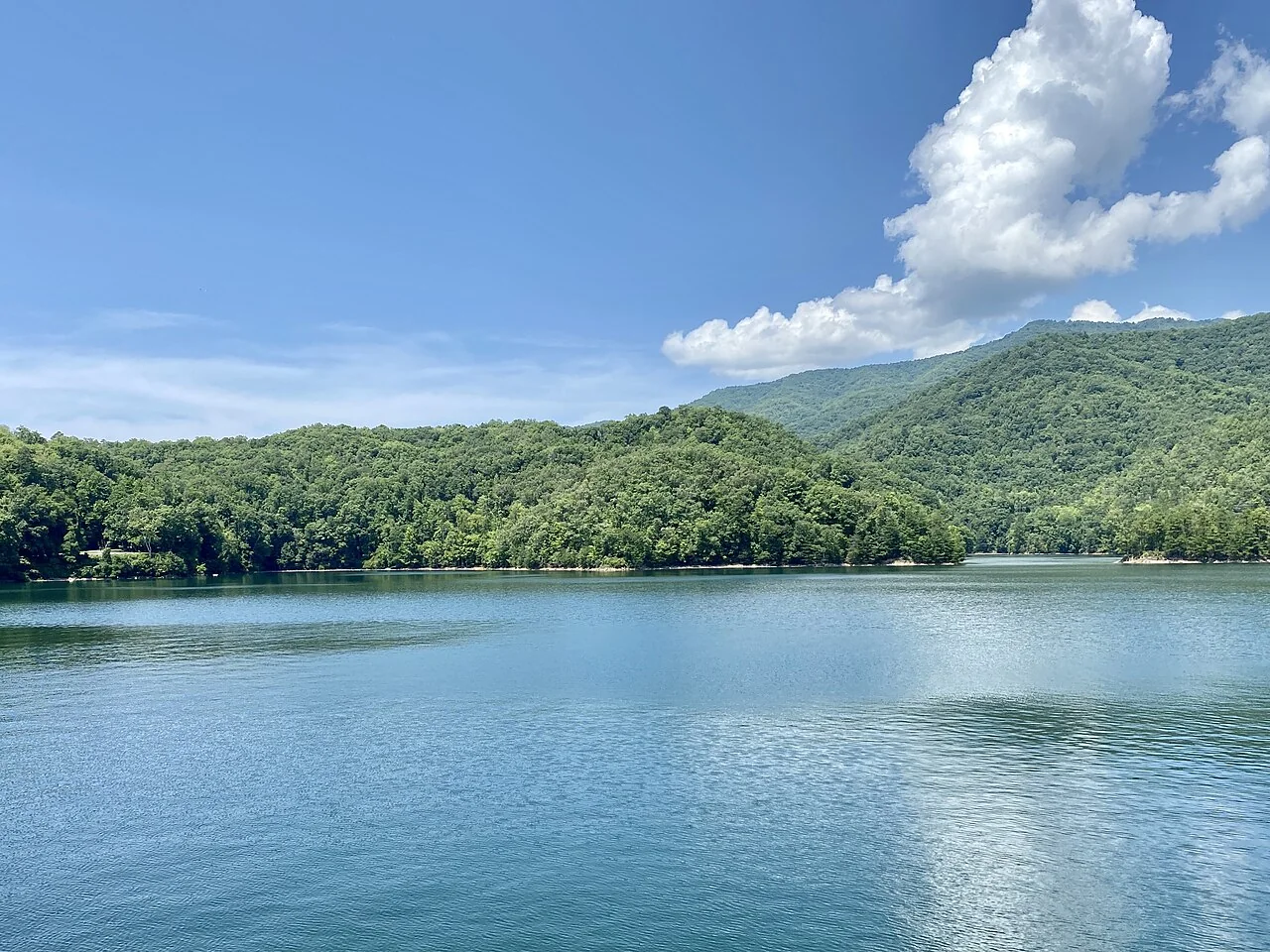
Choose Fontana Dam deliberately rather than adding it automatically after a long river day. The lake spans a broad area, and a dam destination differs from a shore rental or shuttle landing. Carry food and offline directions and verify visitor facilities. Connect the reservoir view to the Road to Nowhere story: scenery here also records changed roads and communities.
East: Cherokee to Oconaluftee
A culture-first drive can begin at the Museum of the Cherokee People and continue to Oconaluftee Visitor Center if opening hours and energy fit. Give the museum reading time. The Mountain Farm Museum behind the visitor center is a separate outdoor-surface decision. Current NPS notices list Mingus Mill temporarily closed; do not build the itinerary around entering it or assume the closure has ended without a newer notice.
Higher: Newfound Gap and Kuwohi
US 441/Newfound Gap Road is a mountain crossing, not a guaranteed all-weather shortcut. The 2026 NPS schedule lists Kuwohi Road April 1–November 29, subject to temporary closure. Check current status and visibility before adding the higher road. Reaching a parking lot does not imply the observation-tower walk is easy or accessible. If the group wants views from the vehicle, select suitable legal stops and keep that distinction clear.
Use conditions to choose the corridor
Rain, low cloud and a closed facility should change the route, not merely add a warning below it. A shorter town-and-museum day may be more satisfying than a long high-elevation drive with no visibility. Save official road notices before leaving dependable service and recheck while connected. Navigation software’s fastest route is not proof that a seasonal park road is open.
Put meals where you will be
Nantahala food belongs on the gorge route; downtown meals belong around town-based outings. Fontana may require a carried lunch when facility hours are uncertain. For an eastern cultural day, choose a confirmed eastern meal rather than racing back for a downtown booking. Build in a restroom and rest stop that is actually open; a mapped attraction name alone does not establish services.
Finish with a return decision
Before leaving, agree where you will turn around if time, weather or comfort changes. Avoid returning after dark simply because a viewpoint was added late. An editorial half-day is a planning allowance, not a timed driving promise: traffic, stops and road conditions affect it. Save another corridor for another day and keep the drive connected to one story or experience.
Choose the version that fits
| Choice | What to plan around | Key check |
|---|---|---|
| Lakeview Drive | Near-town scenery and road history | Tunnel is optional; verify park status |
| US 19 / Nantahala | Gorge views + activity + meal | Highway pull-offs / provider arrival |
| Fontana Dam | Reservoir engineering and history | Facilities, supplies and return road |
| Cherokee / Oconaluftee | Culture and park orientation | Museum hours; Mingus Mill closure |
| Newfound Gap / Kuwohi | High-elevation landscape | Weather; seasonal road and walking effort |
A sequence worth trying
- Near-town outing
Read Road to Nowhere story → Lakeview Drive → optional suitable tunnel visit → downtown meal.
- Eastward day
Cherokee museum → confirmed lunch → Oconaluftee visitor center → return; high elevation only if separately planned.
Suggested sequence; check the actual departure, opening and daylight. Road delays are not calculated.
Questions that change the decision
Is the seasonal opening a guarantee?
No. Temporary weather and maintenance closures take priority.
Can I combine the dam and Cherokee in a short day?
It is possible to drive between many places, but this guide recommends separate spokes to leave meaningful time at each.
A sensible next stop
Cherokee & Oconaluftee: The Eastern Day
Give living Cherokee culture and the park gateway a real block of time.
The Road to Nowhere: Go for the Story
An unfinished road, a tunnel, and a promise that still matters.
Fall in Bryson City
Build a good trip first; let foliage improve it.
Build this into a trip · Find the nearby stops · Match your dates